Archaeology and Cultural Heritage
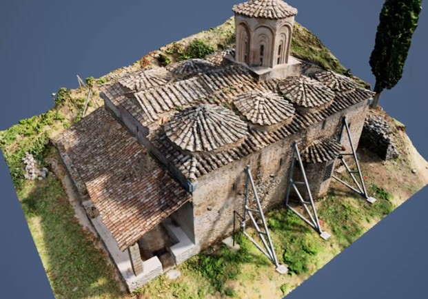
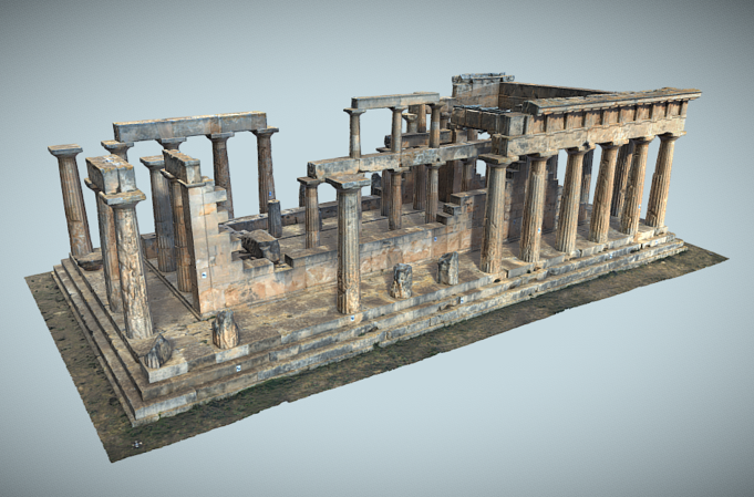
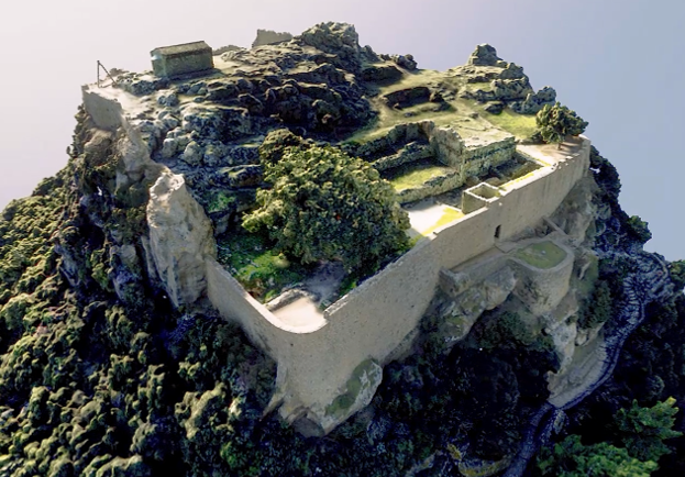
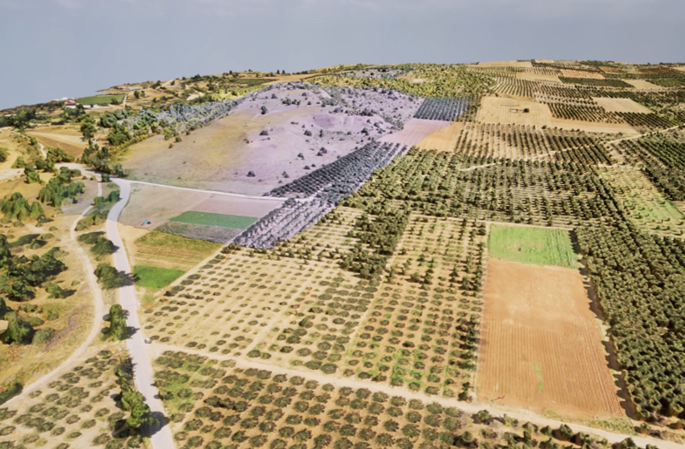
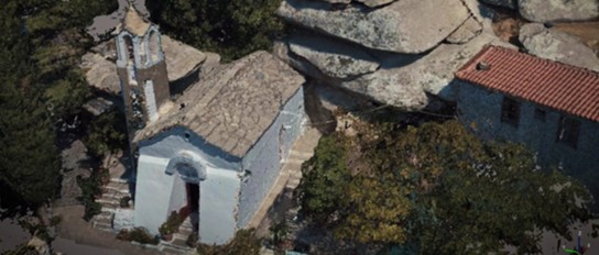
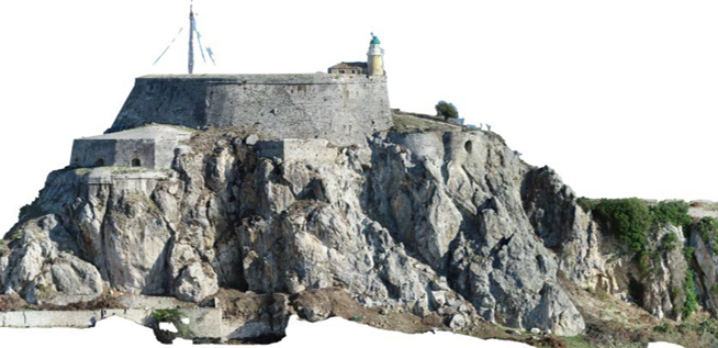
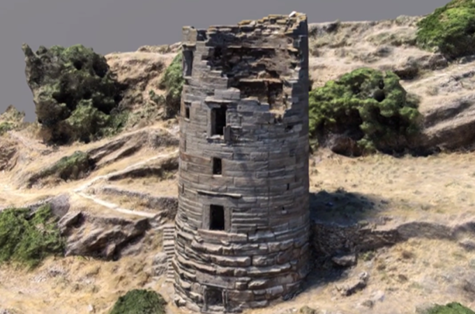
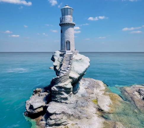
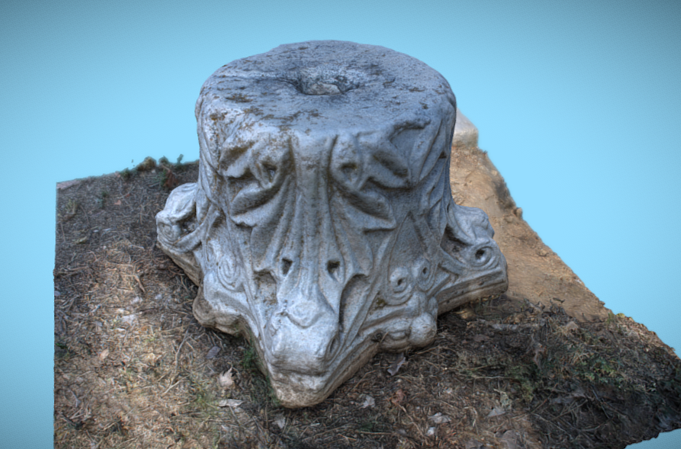
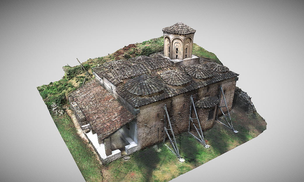
ARGO-E GROUP specializes in delivering innovative solutions for the digital footprint and presentation of cultural heritage monuments. By leveraging cutting-edge technologies such as 3D laser scanning and photogrammetry, we create high-fidelity digital twins that accurately represent the current condition of monuments. These digital twins are not merely images—they are living, interactive representations that allow you to explore every corner and detail, as if you were there.
Why It Matters
Ensuring the long-term preservation of monuments:
Digital twins serve as valuable tools for the study, monitoring, and protection of monuments against natural disasters and human-induced interventions.
Advancing scientific research:
The accurate data provided by digital models contribute to a deeper understanding of the history, architecture, and construction technologies of monuments.
Promoting cultural education and tourism:
Virtual tours and interactive applications make monuments accessible to a broad audience, attracting visitors and strengthening the local economy.
Showcasing cultural heritage at an international level:
The digital documentation and presentation of monuments support the promotion of cultural tourism and enhance the global recognition of cultural heritage.
Our Services Include

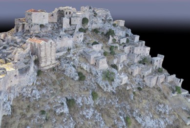
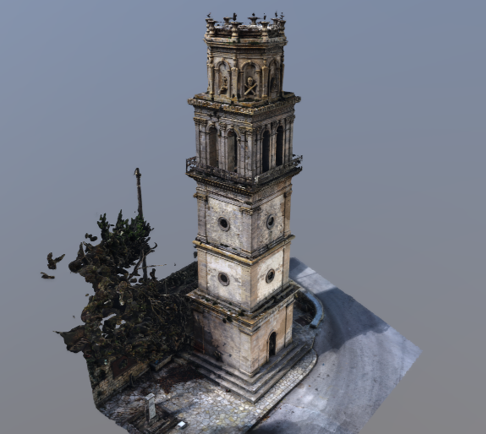
3D Scanning and Modeling
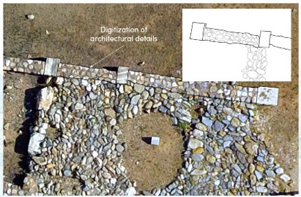
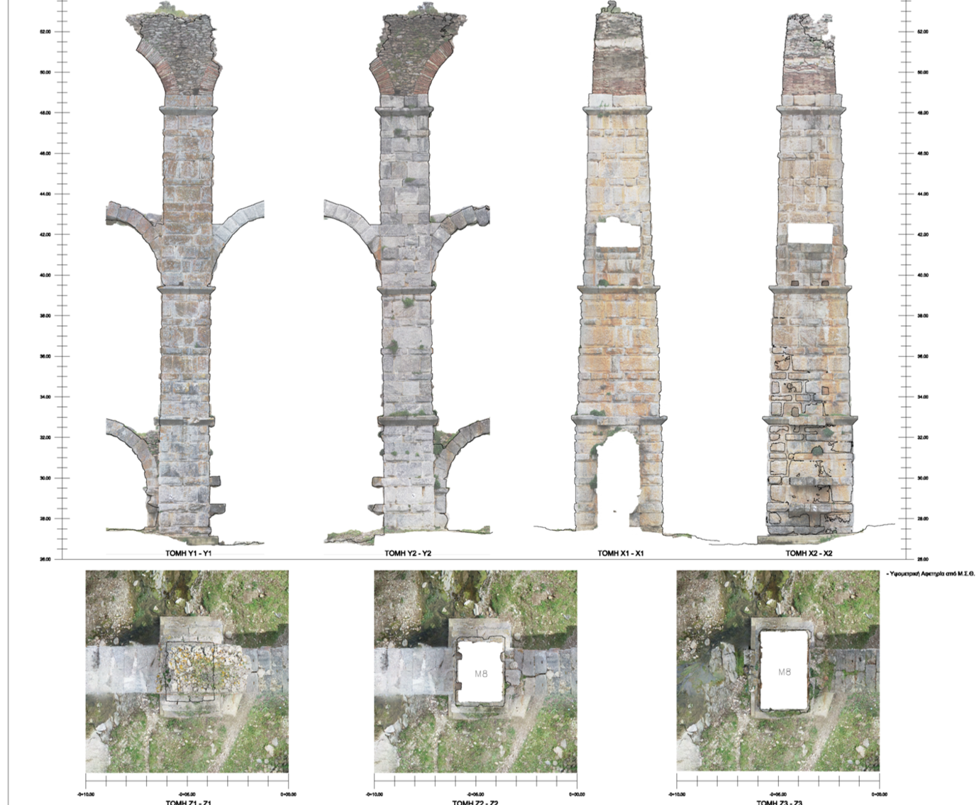
Precise documentation of
the geometry and materials of
monuments.
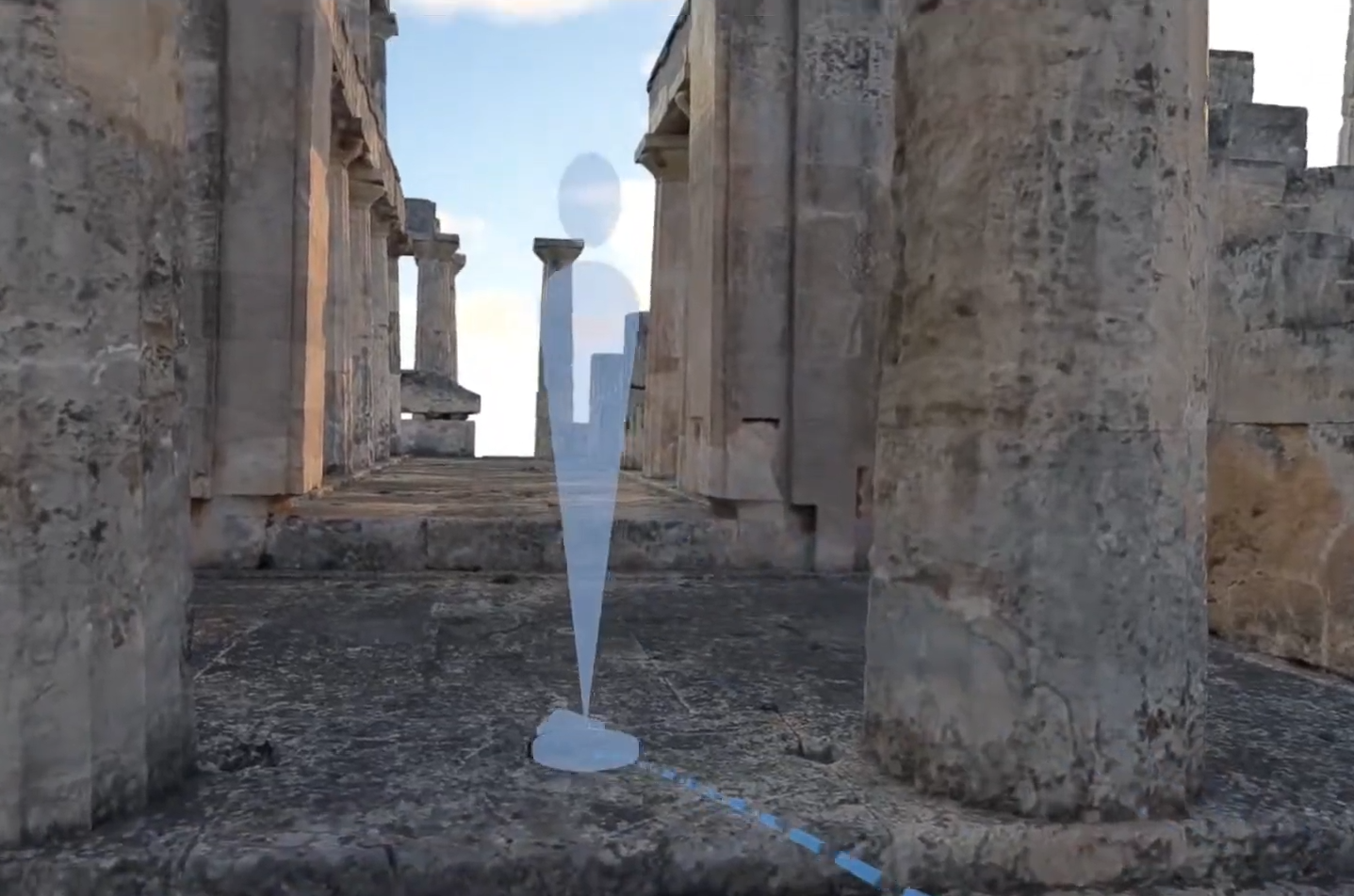
Photorealistic Visualization
Creation of
virtual tours and
interactive applications.
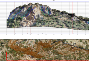
Data and Information Integration
Linking digital models with
databases and
GIS systems.
Custom Application Development
Development of project-specific
applications tailored for
education, research, and tourism.
ARGO-E GROUP is at your disposal to discuss your needs and propose customized solutions for the digital documentation and promotion of cultural heritage monuments.
View our portfolio featuring related applications